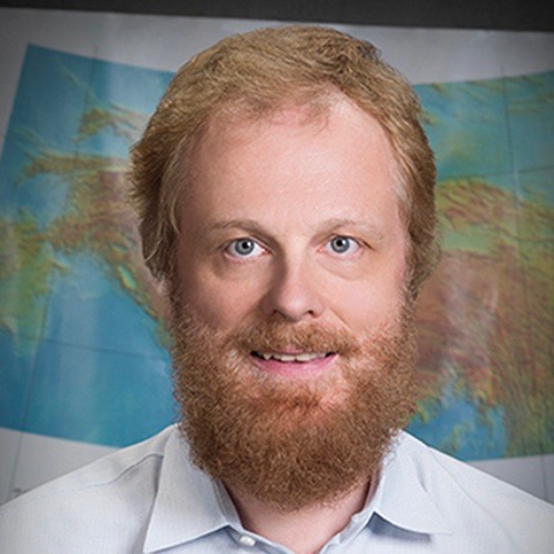
Eric Jameson Fielding will receive the 2016 Ivan I. Mueller Award for Distinguished Service and Leadership at the 2016 American Geophysical Union Fall Meeting, to be held 12–16 December in San Francisco, Calif. The award recognizes “major achievements in service and/or leadership to the geodesy community.”
It is a great pleasure to write this citation for Eric Fielding, who is this year’s winner of the Ivan I. Mueller Award. The Ivan I. Mueller Award was established in 2013 to recognize major achievements in service and/or leadership to the geodesy community that go above and beyond scientific and research contributions.
Eric is a world-leading geodesist and geophysicist who has pioneered and enabled the use of interferometric synthetic aperture radar (InSAR) as a mainstream tool for tectonics. Teasing out small deformation signals from large collections of raw radar data is not straightforward. Eric has patiently and generously used his deep understanding of radar processing to mentor and support a large number of scientists, allowing them to make advances in InSAR techniques or in their application. A dozen or more of these are now well-established researchers or university professors. Eric has been one of the main users and supporters of the InSAR software tools developed at Jet Propulsion Laboratory and Caltech, which have been the principle processing packages used by the scientific community, fixing bugs and ensuring updated versions are released to community. Since 2008, he has been teaching an annual InSAR short course, hosted by UNAVCO, which has now been taken by several hundred participants. It is not an exaggeration to say that without Eric’s selfless support many of the scientific advances that have relied on InSAR observations would not have been possible.
Eric’s unselfish mentoring provides a model for future geoscientists, especially for those who work with new technologies; he has provided, promoted, and supported rapid dissemination of space observing techniques and software to the broad benefit of our community; his work is geodetic but also benefits the seismology, tectonophysics, and volcanology sections of the AGU. I can think of no more deserving winner than Eric for this year’s award.
—Tim J. Wright, University of Leeds, Leeds, U.K.
I would like to thank the American Geophysical Union Geodesy section and those involved in this nomination, especially Tim Wright, for the great honor of being selected for this year’s Ivan I. Mueller Award. I am happy to be the first Mueller awardee working in the field of interferometric synthetic aperture radar (InSAR). I was fortunate to start working at the Jet Propulsion Laboratory (JPL), operated by California Institute of Technology, when InSAR was starting to be applied to geodetic and geophysical problems, including wide-area mapping of topography and surface deformation.
I have greatly benefited from the close collaboration between radar engineers and geophysicists at JPL and Caltech that allowed us and other collaborators around the world to extend InSAR and related methods to study many solid Earth processes. Paul Rosen leads the InSAR software development at JPL, releasing both the Repeat Orbit Interferometry package (ROI_pac) and InSAR Scientific Computing Environment (ISCE), and he and Scott Hensley always helped me understand the theory and implementation. Gilles Peltzer, Mark Simons, Matt Pritchard, Rowena Lohman, Paul Lundgren, Piyush Agram, Eric Gurrola, Walter Szeliga, and many others have collaborated on improving the system for getting the InSAR results, converting to geophysical measurements, and modeling the processes. UNAVCO has generously sponsored InSAR short courses for the past 8 years, with Scott Baker providing excellent help.
I started radar imaging of the Earth with Art Bloom at Cornell University, and learned about geophysics and earthquakes from Bryan Isacks and Muawia Barazangi. Their teaching helped me to join the early InSAR community, and Bryan and Muawia also encouraged me to create a prototype system for sharing geophysical results. The open collaboration of faculty, students, and researchers at Cornell University inspired my later efforts in spreading InSAR in geodesy. I am grateful to my wife for her encouragement.
—Eric Jameson Fielding, Jet Propulsion Laboratory, California Institute of Technology, Pasadena


