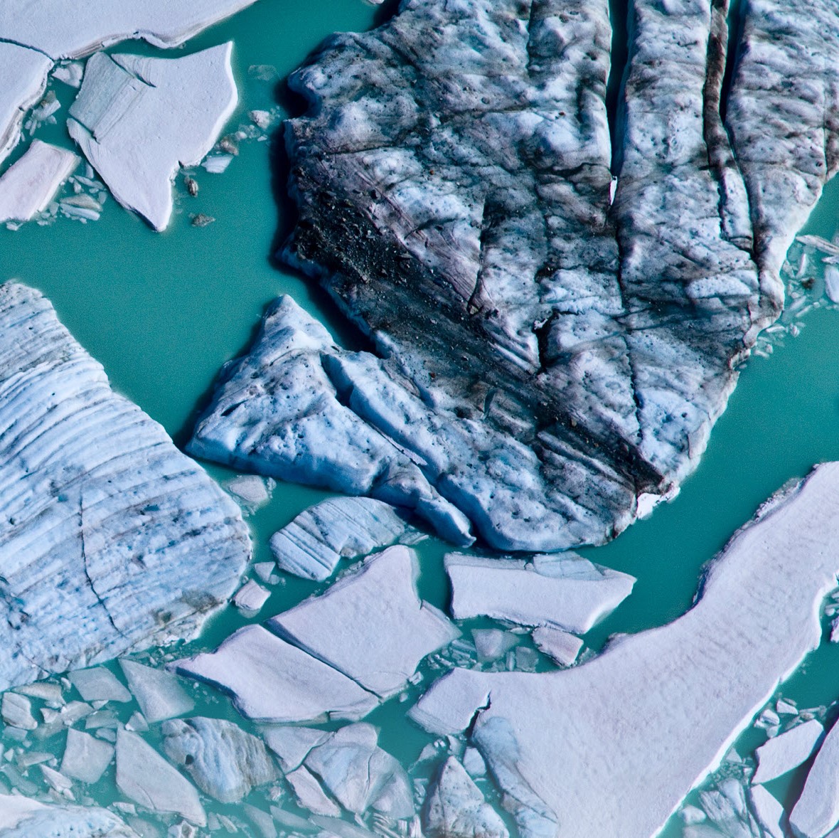
A key to understanding the history, structure, and evolution of ice sheets is being able to observe the geometry and characteristics of the ice/bed interface, as well as the internal structure of the ice. John Paden’s pioneering efforts led to the first successful demonstration of synthetic aperture radar (SAR) imaging of an ice bed interface. Using radar systems and processing techniques he developed as a student at the University of Kansas, during his Ph.D. work, John was able to image the ice bed at Summit Greenland, covered by more than 3 kilometers of ice, demonstrating that radars can be used to image the ice/bed interface, even when covered with very thick ice, opening up exciting new opportunities for understanding ice sheet characteristics and processes.
After finishing his Ph.D., he joined VEXCEL Corp. in Boulder, Colo., and in his spare time conducted research on radar direction of arrival (DoA) algorithms and generated 3-D topography of the ice bed using data collected at Summit Greenland with multi-beam radars. This was the first successful application of parametric signal processing algorithms to multibeam SAR data to demonstrate 3-D imaging (imaging across a swath) of the ice/bed interface. This work has laid important groundwork for future mapping of the Antarctic ice sheet bed in 3-D, both with unmanned aerial vehicles (UAVs) and satellites. These novel observations can contribute substantially to models of ice sheet behavior in a changing climate.
In addition to these innovations, perhaps John’s greatest strengths and contributions to the cryospheric sciences come from the tremendous service he provides the cryospheric research community through processing and distributing large amounts of airborne radar data. These data have been collected over the past 2 decades through various NASA-sponsored and NSF-sponsored campaigns. John, a veteran of 17 airborne field campaigns in Greenland and Antarctica, has been instrumental in developing the processing software that made these data usable to the scientific community, and to date, more than 100 papers, many of which constitute major scientific breakthroughs, are based on the radar data sets he developed. Some of these include: the first reconciled assessment of ice sheet mass balance, new bed elevation maps for Greenland, improved ice core interpretation, ice-sheet-wide radiostratigraphy, and the rapid retreat of Zachariae Istrom in Greenland. Without John’s efforts, these and many other studies would not have been possible or they would have had a far less significant impact. In this sense, John is more than an accomplished researcher and engineer, he is an enabler of a vast array of research, and is an exemplary citizen of the cryospheric community. As one of our colleagues has said, “John has strong shoulders on which many have stood.”
As a leader, selfless enabler, valued colleague by many, John has demonstrated himself to be very deserving of this recognition, and we look forward to his continued contributions and scientific and technical leadership in the future.
—Robin Bell, Lamont Doherty Earth Observatory, Palisades, N.Y.

Topographic variability beneath ice sheets regulates ice flow, basal melting, refreezing processes, and meltwater drainage. The preservation of old...